Overview
The article titled "10 Key Insights in Overview of GIS Property Maps" aims to delve into significant findings related to Geographic Information Systems (GIS) and their application in property mapping. This exploration is crucial, as it highlights essential insights that enhance the understanding and effectiveness of GIS in analyzing property data and mapping. Such knowledge is critical for real estate professionals and decision-makers who rely on accurate information to inform their strategies. Furthermore, the insights presented in this article will likely address common challenges faced in the field, ultimately providing solutions that reinforce the reliability of GIS in property mapping.
Introduction
The landscape of property mapping is experiencing a transformative shift, propelled by advancements in Geographic Information Systems (GIS) technology and data analytics. As real estate professionals strive to enhance their decision-making capabilities, it becomes crucial to understand the latest innovations and insights in GIS property maps.
What are the key developments that can empower stakeholders to navigate this complex terrain more effectively?
Furthermore, how can these tools reshape the future of property assessment?
Parse AI: Revolutionizing Title Research with Machine Learning
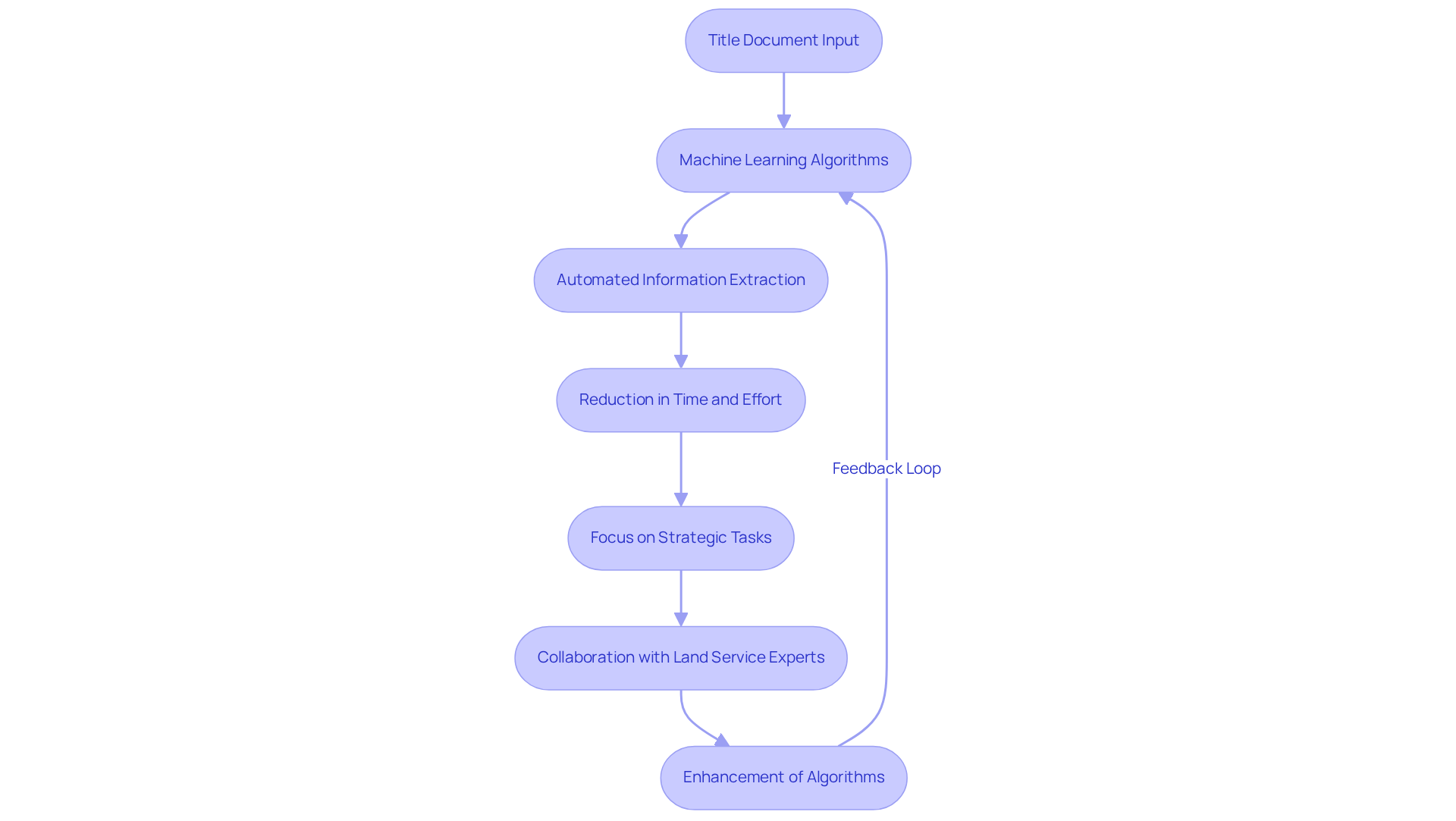
Parse AI harnesses advanced machine learning algorithms to automate the extraction of critical information from extensive title documents. This innovation not only significantly reduces the time and effort required for but also empowers professionals to concentrate on more strategic tasks. Furthermore, by consistently enhancing its algorithms through collaboration with land service experts, Parse AI ensures that its solutions remain relevant and effective in addressing the evolving challenges of the property sector.
EagleView: Aerial Insights for Enhanced Property Mapping
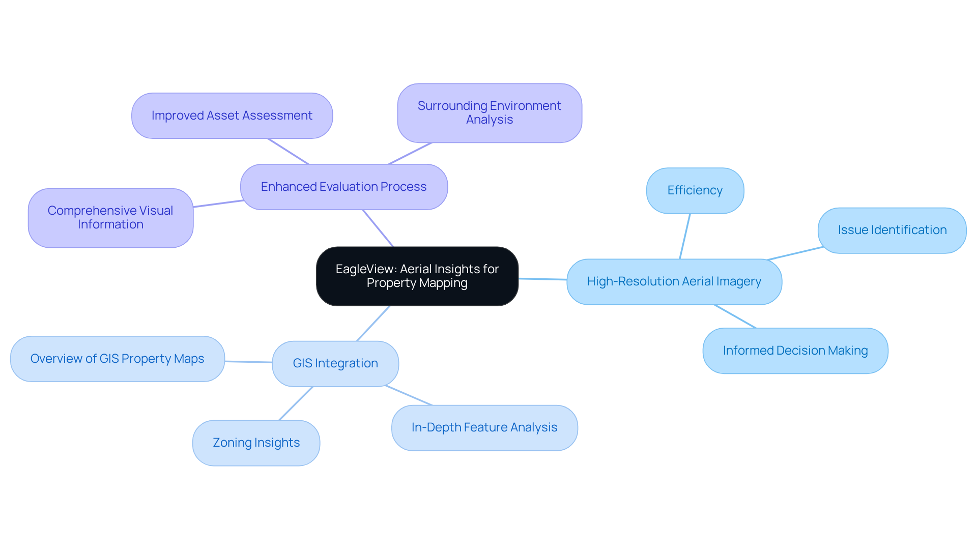
EagleView emphasizes the critical role of high-resolution aerial imagery in enhancing land mapping accuracy. This comprehensive visual information empowers to assess assets with greater efficiency, identify potential issues, and make informed decisions. Furthermore, the integration of aerial insights with GIS technology offers an overview of GIS property maps, enabling a more in-depth analysis of features, zoning, and surrounding environments. Consequently, this approach significantly improves the overall evaluation process.
Esri: Comprehensive GIS Solutions for Property Mapping
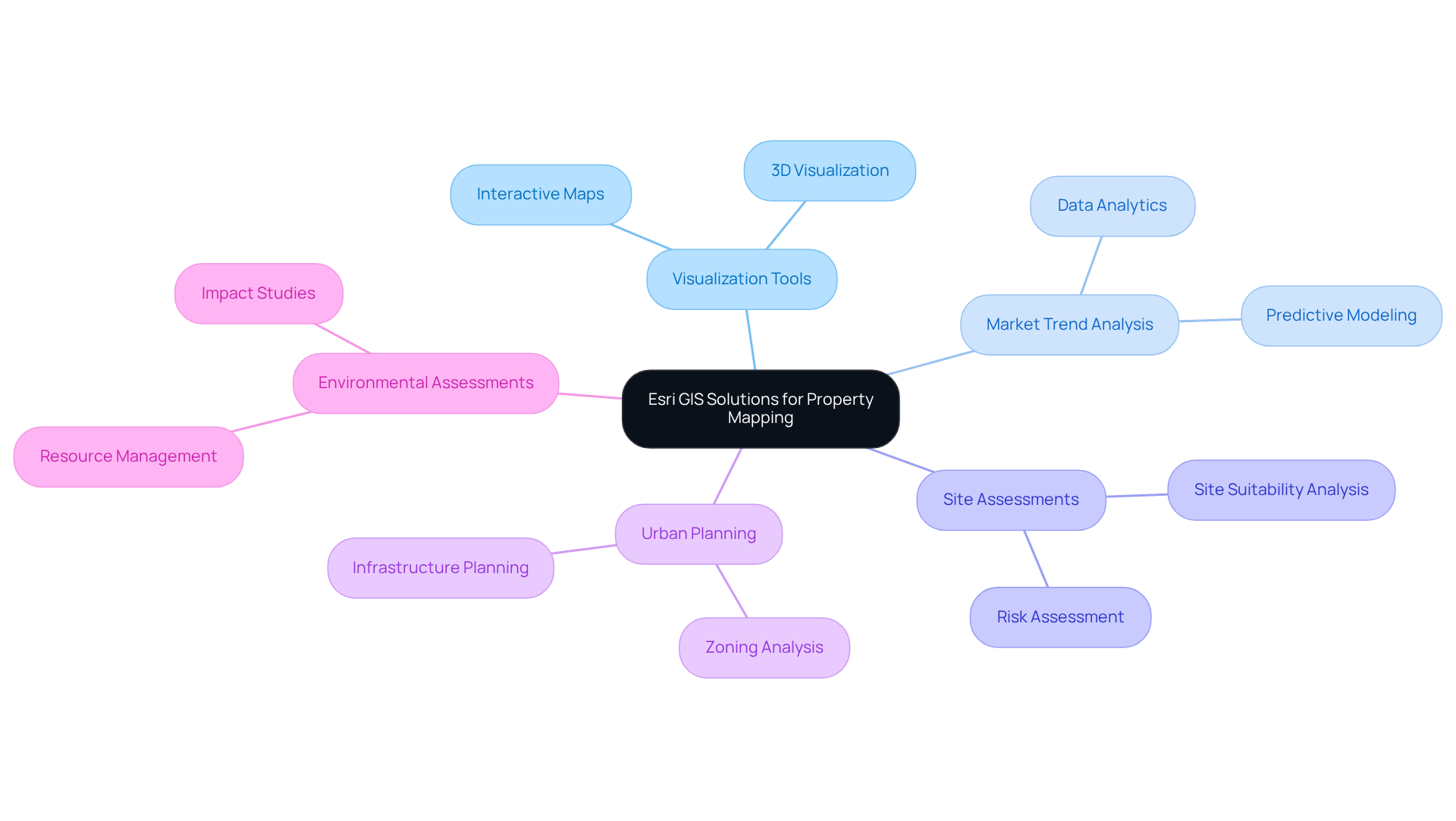
Esri provides a comprehensive suite of GIS solutions that are essential for land mapping and analysis. With powerful tools such as ArcGIS, realty professionals can effectively visualize , analyze market trends, and conduct thorough site assessments. Furthermore, Esri's platform supports a wide range of applications, from urban planning to environmental assessments, establishing it as an invaluable resource for all stakeholders in the real estate sector. The capability to integrate diverse data sources into a singular platform significantly enhances decision-making and strategic planning.
USGS: Essential Geospatial Data for Property Analysis
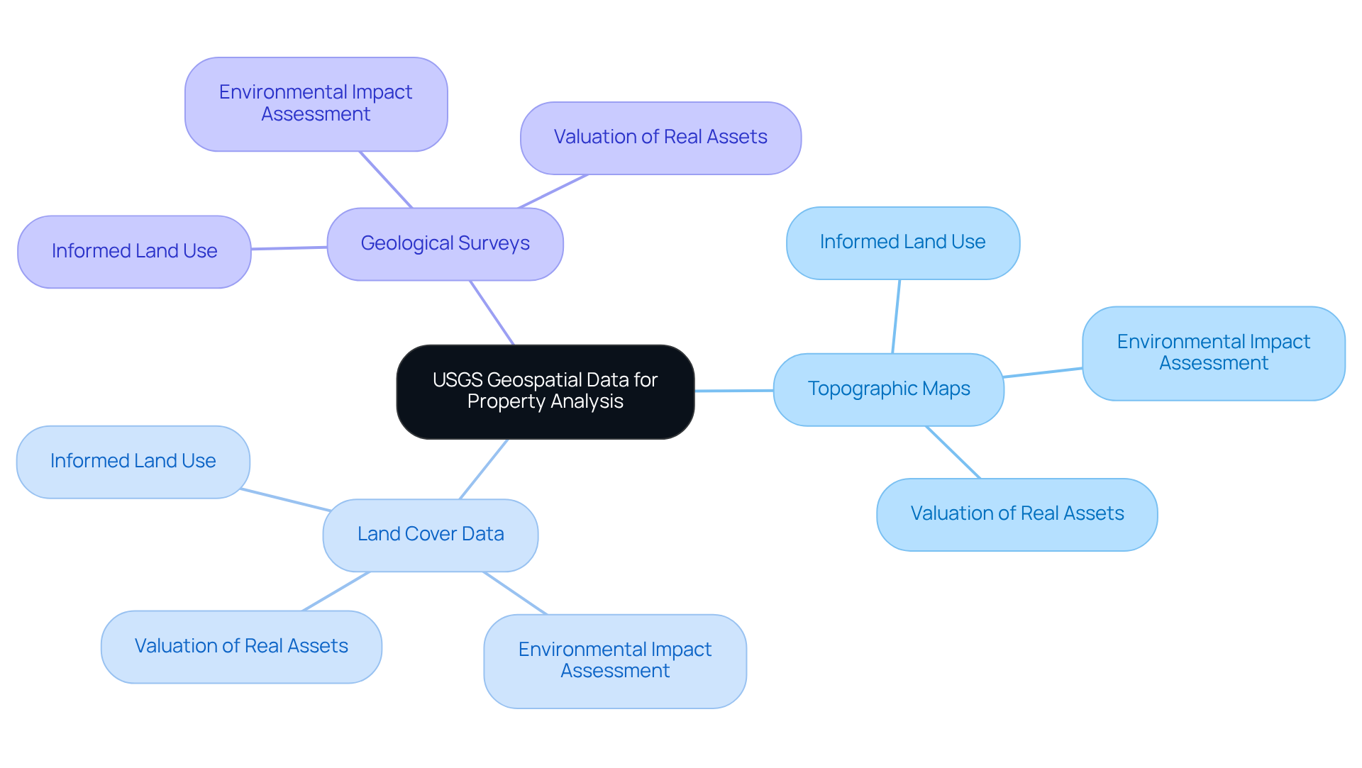
The United States Geological Survey (USGS) provides an extensive collection of geospatial data that is critical for land evaluation. This includes:
- Topographic maps
- Land cover data
- Geological surveys
These collectively offer a thorough understanding of a site's physical characteristics. Professionals in the field rely on USGS data to make informed decisions regarding land use, assess environmental impacts, and determine valuations of real assets. Furthermore, by integrating USGS data into Geographic Information Systems (GIS), these experts create an overview of GIS property maps that significantly enhance their analytical capabilities, leading to more accurate and precise assessments essential for effective real estate decision-making. The insights derived from this data not only facilitate strategic planning but also promote sustainable development practices, ensuring that real estate investments are both economically viable and environmentally responsible.
Citrus County Enterprise GIS: Localized Insights for Property Mapping
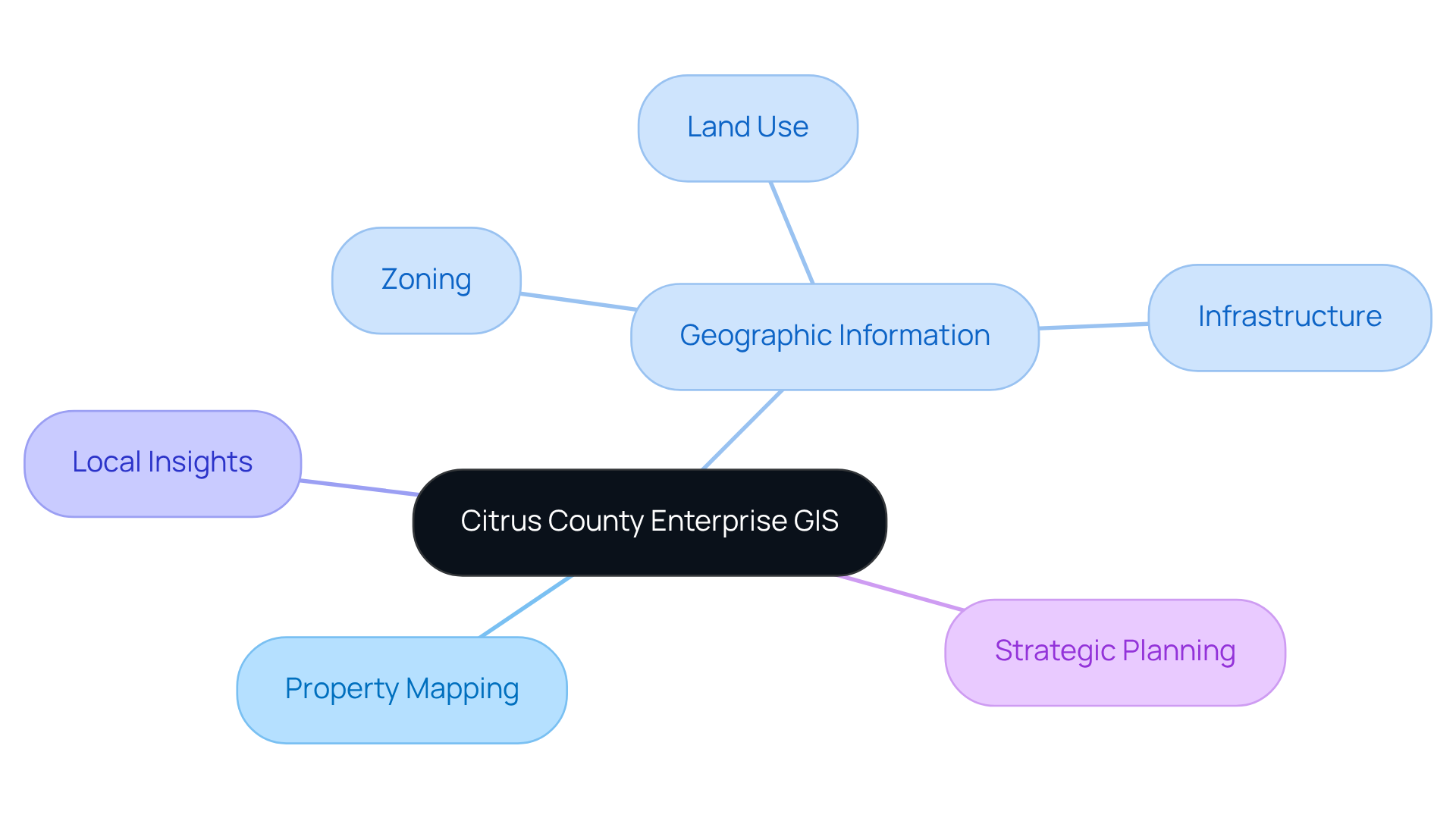
Citrus County's Enterprise GIS delivers critical localized insights vital for effective land mapping and analysis. This GIS platform offers an overview of , providing access to a comprehensive array of geographic information—including zoning, land use, and infrastructure—empowering property professionals to make informed decisions rooted in local conditions. Furthermore, the ability to visualize and scrutinize data concerning land within the context of the surrounding environment significantly enhances strategic planning and development initiatives. Consequently, the overview of GIS property maps in Citrus County emerges as an indispensable resource for local realty professionals.
ArcGIS Learn: Educational Resources for GIS Property Maps
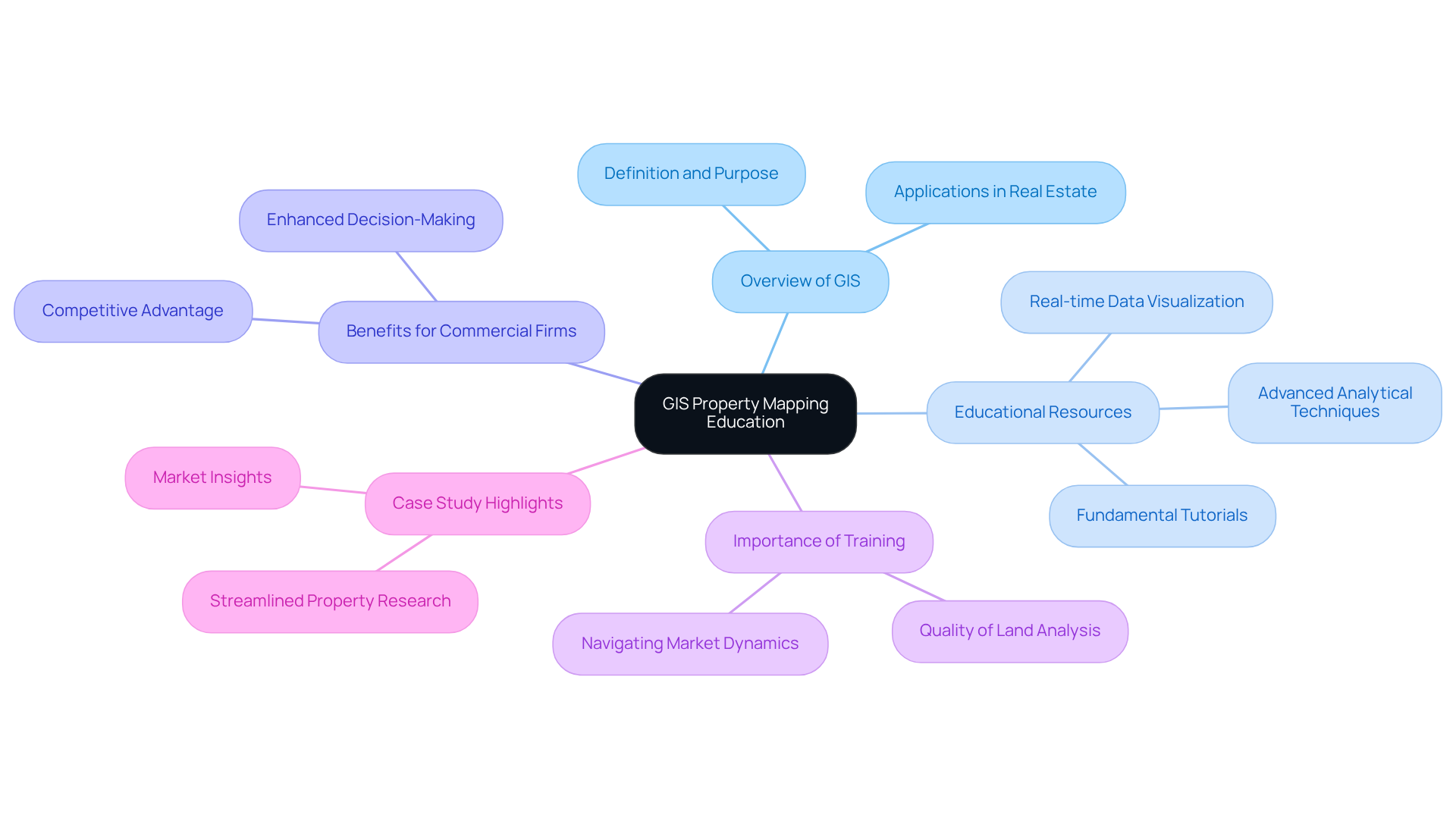
ArcGIS Learn offers an overview of GIS property maps with a comprehensive suite of educational resources designed for mastering GIS property mapping. These resources include an overview of GIS property maps, encompassing everything from fundamental tutorials to advanced analytical techniques, equipping property professionals with essential skills for the .
As Andrei Kasyanau notes, 'For commercial property firms, utilizing GIS software offers a competitive edge.' By deepening their expertise, users can markedly enhance their analytical capabilities, leading to more informed decision-making and successful outcomes in real estate ventures.
Furthermore, statistics reveal that GIS maps provide real-time updates on land information and facilitate the analysis of market competition and pricing. The importance of GIS training cannot be overstated, as it directly influences the quality of land analysis and the ability to navigate complex market dynamics.
A compelling case study illustrates how GIS solutions have streamlined property research, enabling agents to swiftly access comprehensive data, thereby enhancing their potential to secure profitable deals.
MIT GIS Resources: Housing and Real Estate Data Insights
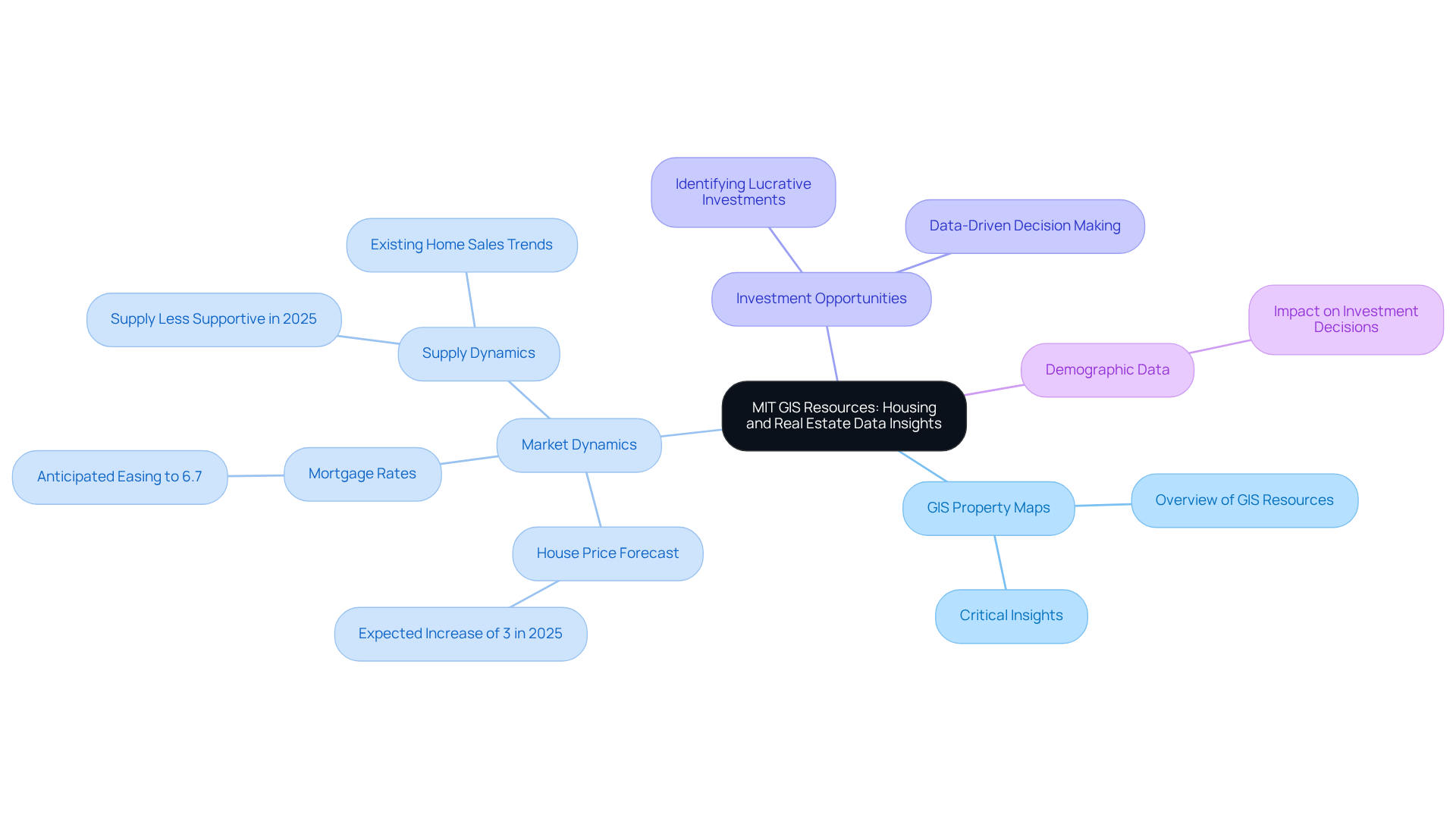
MIT provides a wealth of GIS resources that offer an overview of GIS property maps, which are essential for analyzing housing and property data. These datasets provide critical insights into home values, rental prices, and , which are fundamental for grasping market dynamics.
For example, J.P. Morgan Research forecasts a 3% increase in house prices overall in 2025, with mortgage rates anticipated to slightly ease to 6.7%. By leveraging MIT's GIS resources, property professionals can obtain an overview of GIS property maps to uncover housing trends, identify lucrative investment opportunities, and make informed, data-driven decisions that align with current market demands.
As Michael Rehaut from J.P. Morgan asserts, 'Supply should be less of a support for the housing market in 2025,' underscoring the necessity of understanding supply dynamics in investment strategies. The academic rigor underpinning these resources not only bolsters the credibility of real estate analysis but also offers an overview of GIS property maps, equipping professionals to adeptly navigate the complexities of the real estate landscape.
Furthermore, demographic data is pivotal in shaping investment decisions, further reinforcing the significance of these resources in strategic planning.
The National Map: Access to Comprehensive Map Layers
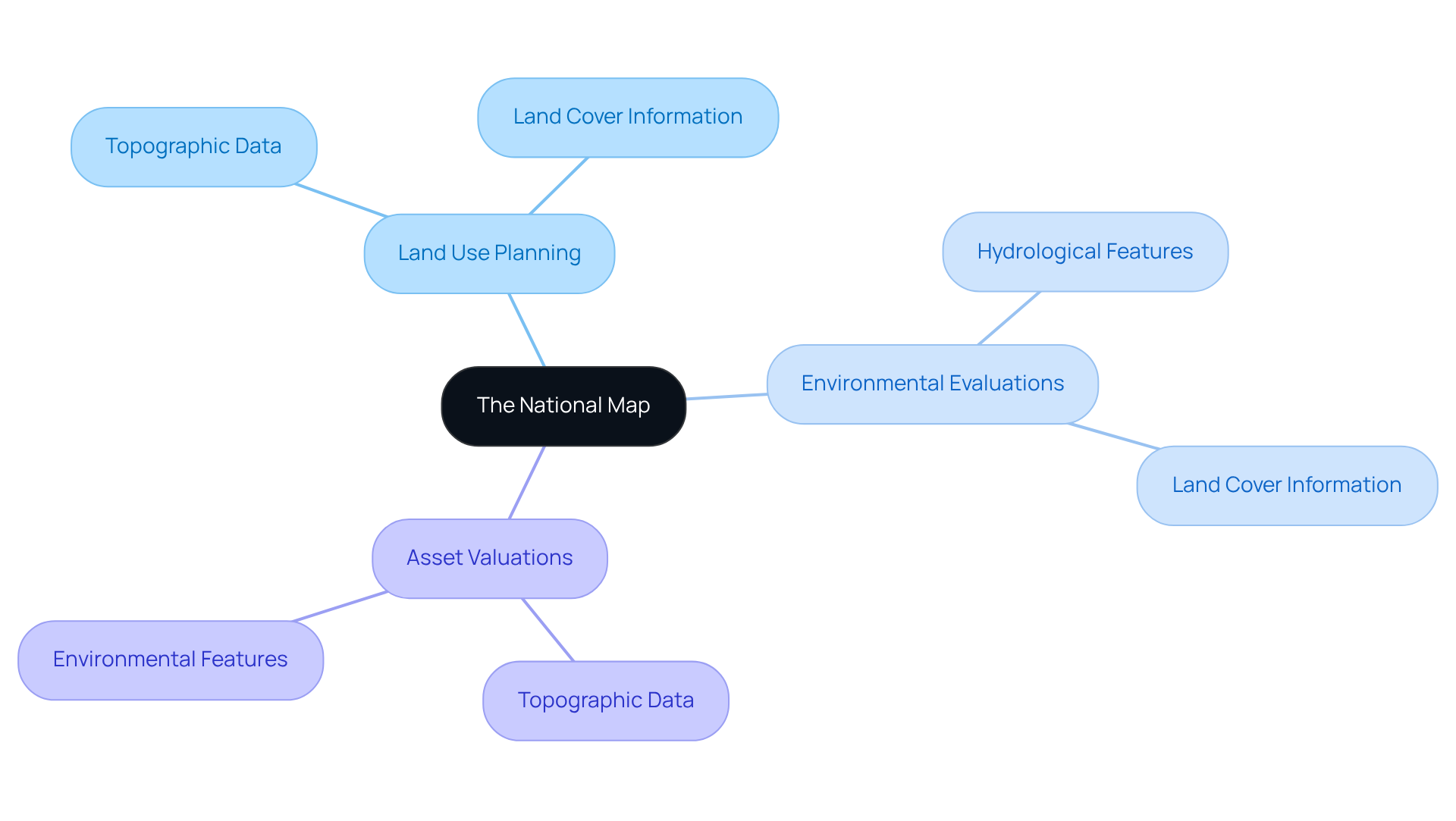
The National Map provides access to a comprehensive collection of map layers that are essential for land analysis. This includes topographic data, , and hydrological features, which are crucial for understanding the physical attributes of a site. By integrating these layers into GIS applications, land professionals can develop an overview of GIS property maps that support thorough analyses for:
- Land use planning
- Environmental evaluations
- Asset valuations
Consequently, the National Map serves as a fundamental resource for anyone involved in property.
GIS Showcase: Innovative Applications of Property Mapping
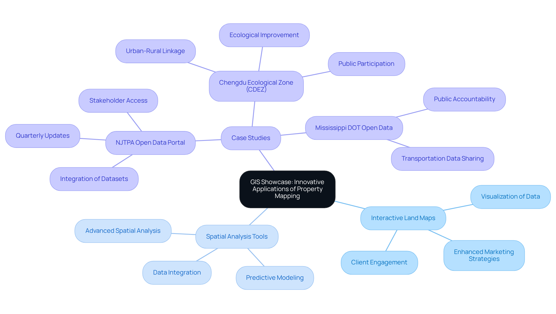
The GIS Showcase offers an overview of GIS property maps, highlighting a diverse array of innovative applications in land mapping and exemplifying the versatility of GIS technology. Interactive land maps, paired with advanced spatial analysis tools, empower industry professionals to visualize data in unprecedented ways. These solutions not only but also significantly boost client engagement and streamline evaluations.
For example, the North Jersey Transportation Planning Authority (NJTPA) has established an Open Data Portal that integrates a variety of datasets, enabling stakeholders to access critical information for informed decision-making.
By showcasing successful case studies, such as the NJTPA initiative, the exhibition provides an overview of GIS property maps that inspires property professionals to leverage GIS technology effectively, fostering a more dynamic and responsive approach within their practices.
GIS Trends: Analyzing the Future of Property Mapping
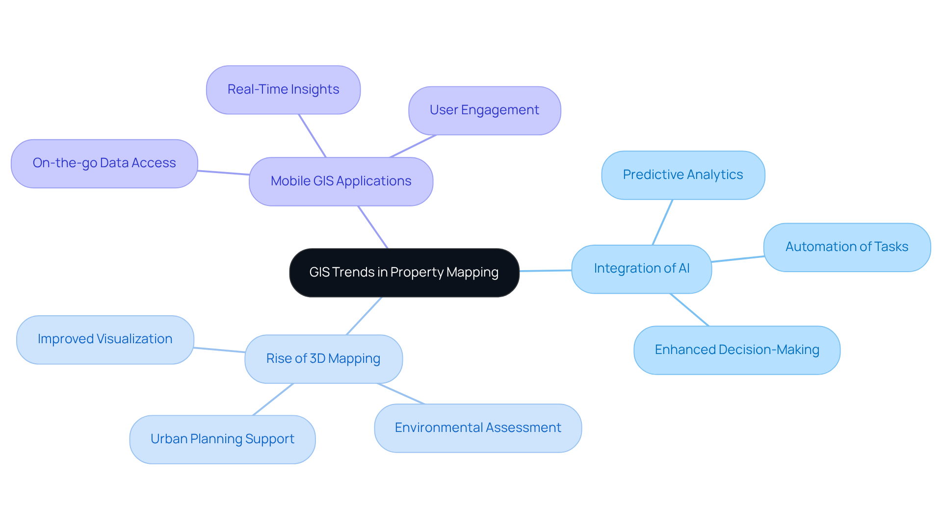
As GIS technology continues to evolve, several key trends are shaping the future of property mapping. Notably, the integration of artificial intelligence for predictive analytics stands out, alongside the rise of 3D mapping that enhances visualization. Furthermore, the increasing use of mobile GIS applications facilitates on-the-go data access, providing real estate professionals with vital tools. By staying informed about these trends, these professionals can adapt their strategies effectively. This adaptation not only leverages new technologies but also and enhances their competitive edge in the market.
Conclusion
The exploration of GIS property maps underscores the transformative power of technology in enhancing property analysis and decision-making. By integrating advanced tools and resources, professionals in the real estate sector can significantly improve their efficiency and accuracy in evaluating land and properties. The insights gained from this comprehensive overview emphasize the necessity of leveraging innovative solutions to navigate the complexities of the market effectively.
Key arguments presented throughout the article highlight the contributions of various technologies and organizations, such as:
- Parse AI's machine learning capabilities
- EagleView's aerial imagery
- Esri's extensive GIS solutions
Each of these elements plays a crucial role in ensuring that real estate professionals have access to the most relevant and accurate data, ultimately leading to better-informed decisions. Furthermore, resources like the National Map and MIT's datasets provide essential geospatial information that further enriches property mapping efforts.
As the landscape of property mapping continues to evolve, embracing these technological advancements is not merely beneficial but essential for success in the real estate industry. By staying informed about current trends and utilizing the latest tools, professionals can enhance their analytical capabilities and maintain a competitive edge. The integration of AI, mobile applications, and comprehensive datasets will pave the way for more efficient practices, enabling stakeholders to respond adeptly to market demands and drive sustainable development.
Frequently Asked Questions
What is Parse AI and how does it benefit title research?
Parse AI utilizes advanced machine learning algorithms to automate the extraction of critical information from title documents, significantly reducing the time and effort required for title research. This allows professionals to focus on more strategic tasks.
How does Parse AI ensure its solutions remain effective?
Parse AI continuously enhances its algorithms through collaboration with land service experts, ensuring that its solutions address the evolving challenges of the property sector.
What role does EagleView play in property mapping?
EagleView provides high-resolution aerial imagery that enhances land mapping accuracy, enabling real estate professionals to assess assets more efficiently and identify potential issues.
How does EagleView integrate aerial insights with GIS technology?
EagleView combines aerial insights with GIS technology to provide an overview of GIS property maps, facilitating in-depth analysis of features, zoning, and surrounding environments, which improves the overall evaluation process.
What services does Esri offer for property mapping?
Esri offers a comprehensive suite of GIS solutions, including powerful tools like ArcGIS, which help realty professionals visualize land data, analyze market trends, and conduct thorough site assessments.
In what applications can Esri’s GIS solutions be utilized?
Esri's platform supports a wide range of applications, from urban planning to environmental assessments, making it an invaluable resource for stakeholders in the real estate sector.
How does Esri enhance decision-making in property mapping?
Esri enhances decision-making by allowing the integration of diverse data sources into a singular platform, which significantly aids in strategic planning and analysis.


