Overview
The article titled "10 Essential Research Tools for Land Use and Zoning History" underscores the vital resources that professionals require to conduct thorough research on land use and zoning regulations. It presents tools such as:
- ZoningCheck
- LandVision
- ZoningMap
These tools deliver comprehensive insights and critical data essential for informed decision-making in real estate development and adherence to local regulations. This emphasis on modern technology highlights its role in enhancing research efficiency, thereby reinforcing the importance of these tools in navigating the complexities of land use and zoning history.
Introduction
The landscape of land use and zoning research is rapidly evolving, propelled by technological advancements that streamline processes and enhance accuracy. As real estate professionals navigate the complexities of property regulations and historical data, the right tools can significantly influence informed decision-making. However, with an abundance of options available, how can one discern the essential resources that genuinely elevate research efficiency and effectiveness? This article explores ten indispensable research tools that not only simplify the investigation of land use and zoning history but also empower professionals to maintain a competitive edge in the market.
Parse AI: Advanced Machine Learning for Title Research
employs advanced algorithms to effectively analyze and extract information from extensive collections of . By automating the , it significantly reduces the time required for title research, allowing professionals to focus on more strategic tasks. This not only but also substantially minimizes human errors, making it an essential tool for who need reliable ownership details promptly.
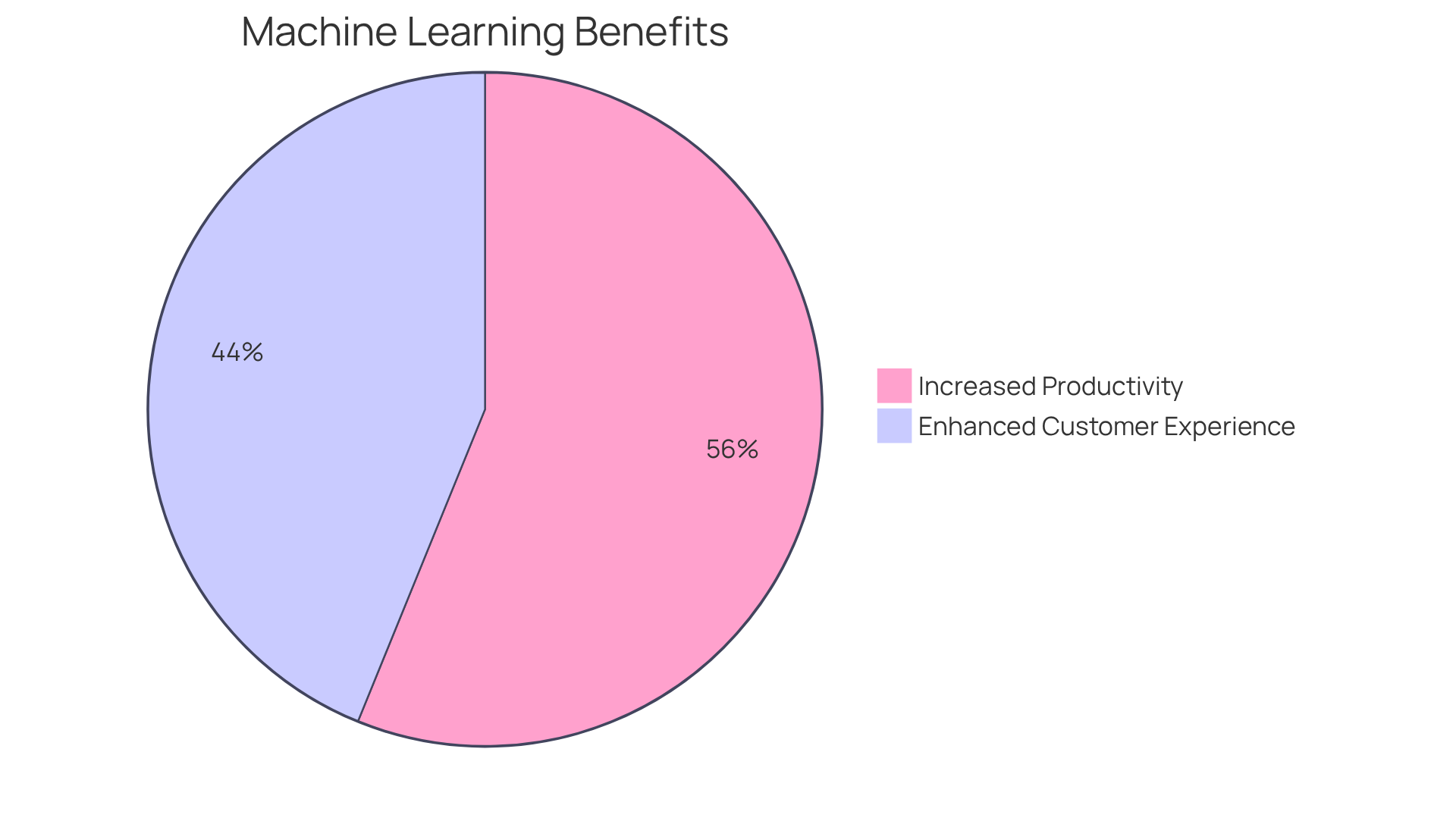
Furthermore, companies utilizing machine learning for asset ownership verification are experiencing notable improvements in . In fact:
- 57% of firms report enhanced customer experiences.
- 73% of executives believe that machine learning will increase productivity.
Consequently, Parse AI not only streamlines workflows but also delivers compared to traditional , rendering it invaluable for the industry.
Comanche County Clerk Records: Digital Interface for Efficient Searches
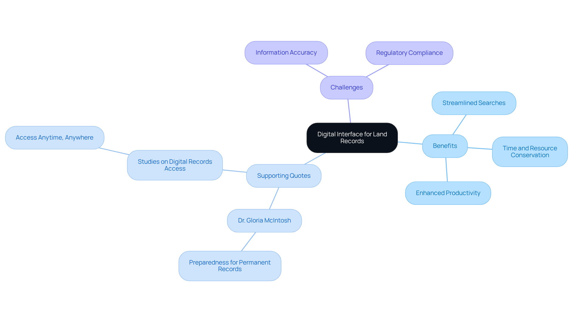
The Comanche County Clerk's office provides a robust digital interface that significantly , including deeds and mortgages. This online access reduces the need for physical visits to the clerk's office, conserving both time and resources. Title researchers can quickly find and confirm , which enhances their workflow and boosts overall productivity.
As various studies indicate, "," facilitating efficient retrieval and sharing. Furthermore, Dr. Gloria McIntosh, Sunflower County Chancery Clerk, asserts, "There is no substitute for preparedness when it comes to permanent records," underscoring the necessity of .
The , enabling quicker case resolutions and improving accuracy in property documentation. This shift towards digital interfaces exemplifies the broader trend of leveraging technology to , as evidenced by successful digitization efforts in Madison Parish, LA, and Sunflower County, MS.
However, it is crucial to recognize that remain vital considerations in the digitization process.
Automated Document Processing: Streamlining Landmen's Research with ParseAI
significantly transforms how landmen conduct their research by swiftly converting unstructured information into structured formats. This advanced technology facilitates the , thereby dramatically reducing the time spent on manual information entry and interpretation. Consequently, , .
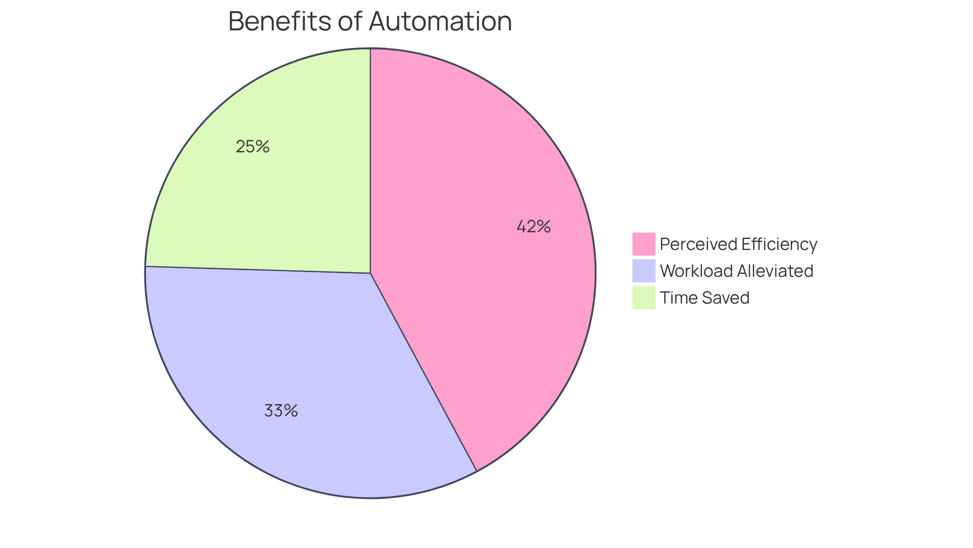
Many landmen have observed that automation not only accelerates their workflow but also improves accuracy; studies indicate that can reduce . Furthermore, with 68% of employees reporting an overwhelming workload daily, automation empowers landmen to concentrate on higher-value tasks.
By leveraging ParseAI, landmen are equipped to achieve more in less time, ultimately transforming their research processes. As one landman stated, "86% of employees believe automation will help them work more efficiently." Additionally, the potential for further underscores the value of implementing such technology.
ZoningCheck: Comprehensive Zoning Regulation and History Checker
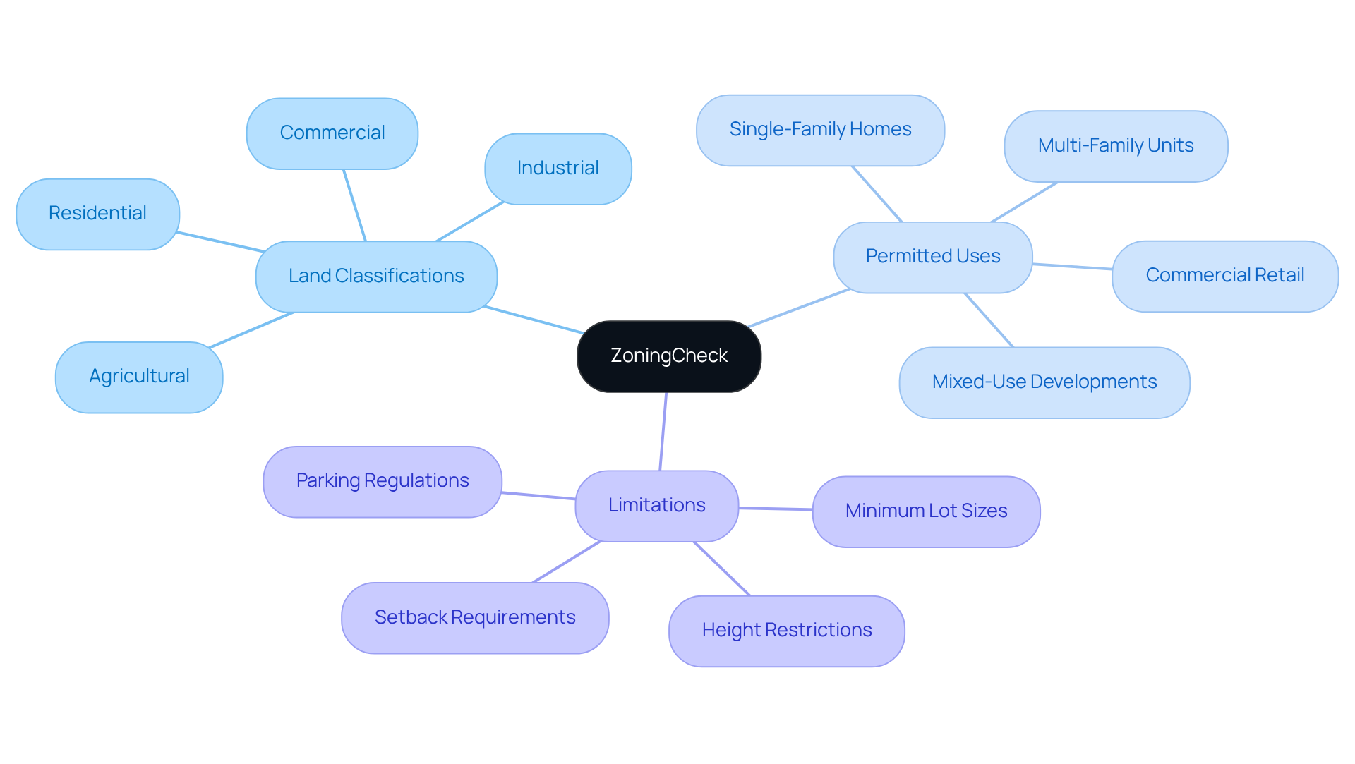
ZoningCheck is an authoritative instrument that provides extensive insights into research tools for , as well as and historical data for specific locations. By leveraging this platform, property professionals can efficiently acquire crucial information regarding . This knowledge is vital for making informed decisions related to and ensuring compliance with .
LandVision: Mapping Tool for Visualizing Zoning Data
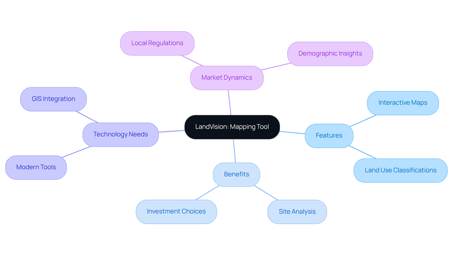
LandVision emerges as a state-of-the-art mapping tool that empowers real estate professionals to visualize area data with exceptional precision. By offering interactive maps that clearly delineate and boundary lines, LandVision significantly enhances the effectiveness of . This capability allows users to identify both opportunities and constraints associated with specific assets, ultimately refining the .
The ability to visualize land-use information, supported by , not only aids in pinpointing suitable development locations but also fosters a deeper understanding of , which are crucial for making informed investment choices.
As real property analysts emphasize, the use of research tools for land use and zoning history is essential for navigating complex property environments and improving development strategies. Notably, a Deloitte survey indicates that 60% of real estate professionals continue to depend on outdated technology, highlighting the pressing need for .
Furthermore, GIS technology facilitates the overlay of demographic information, providing a comprehensive view of local market dynamics.
Zillow: Property Data with Zoning Insights
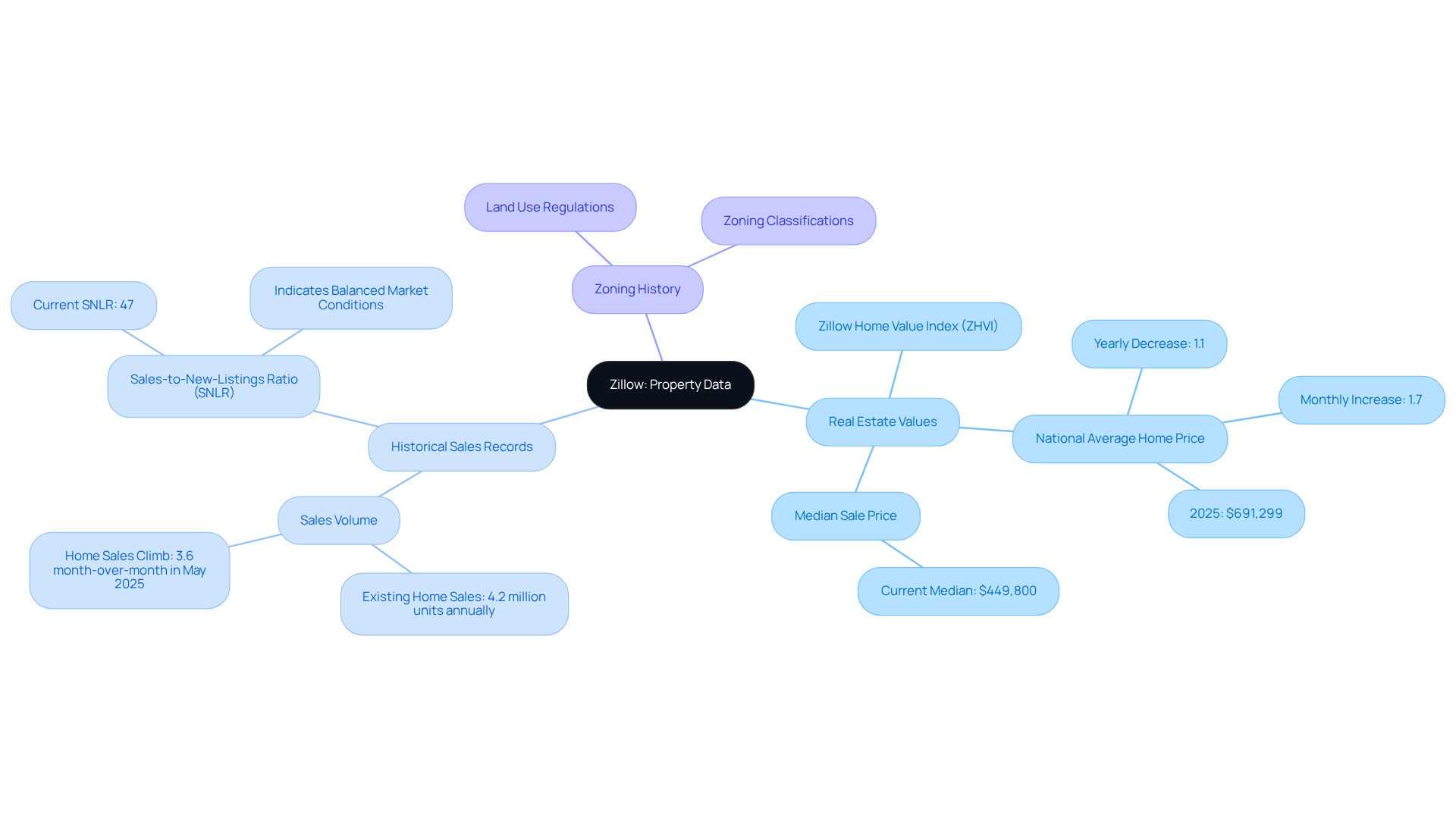
Zillow serves as a prominent platform, delivering extensive information on real estate, which includes for land use and zoning history. Users can seamlessly access data regarding , , and classifications directly through the site. This wealth of information empowers realty experts to make informed decisions about . Consequently, they remain cognizant of any that may impact their plans, ensuring a .
CityData: Demographic and Zoning Information Resource
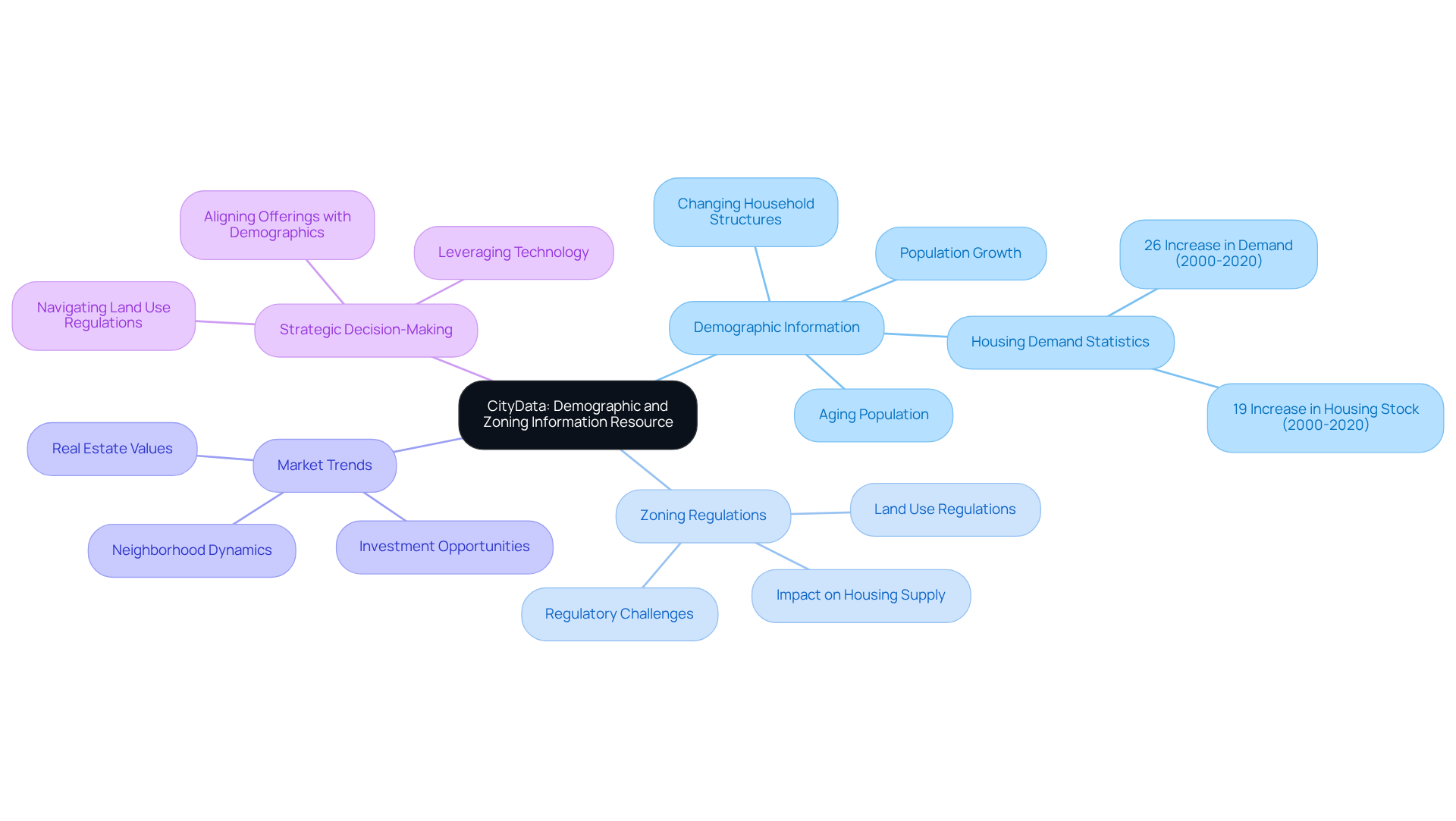
CityData serves as an indispensable tool for accessing comprehensive demographic and land use information. It provides detailed city profiles that encompass population statistics, economic data, and zoning regulations, empowering to conduct .
Understanding is vital, as these shifts significantly influence and development opportunities. For example, neighborhoods experiencing population growth often witness , which can subsequently elevate property values.
Analysts note that and changing household structures, are critical in shaping property strategies. Statistics indicate that , while the actual housing stock only increased by 19 percent, highlighting the necessity of aligning real estate offerings with demographic realities.
By leveraging research tools for , professionals can adeptly navigate the complexities of and their potential impacts on property values, ultimately leading to more informed and strategic decision-making.
American Planning Association: Guidelines for Zoning Practices
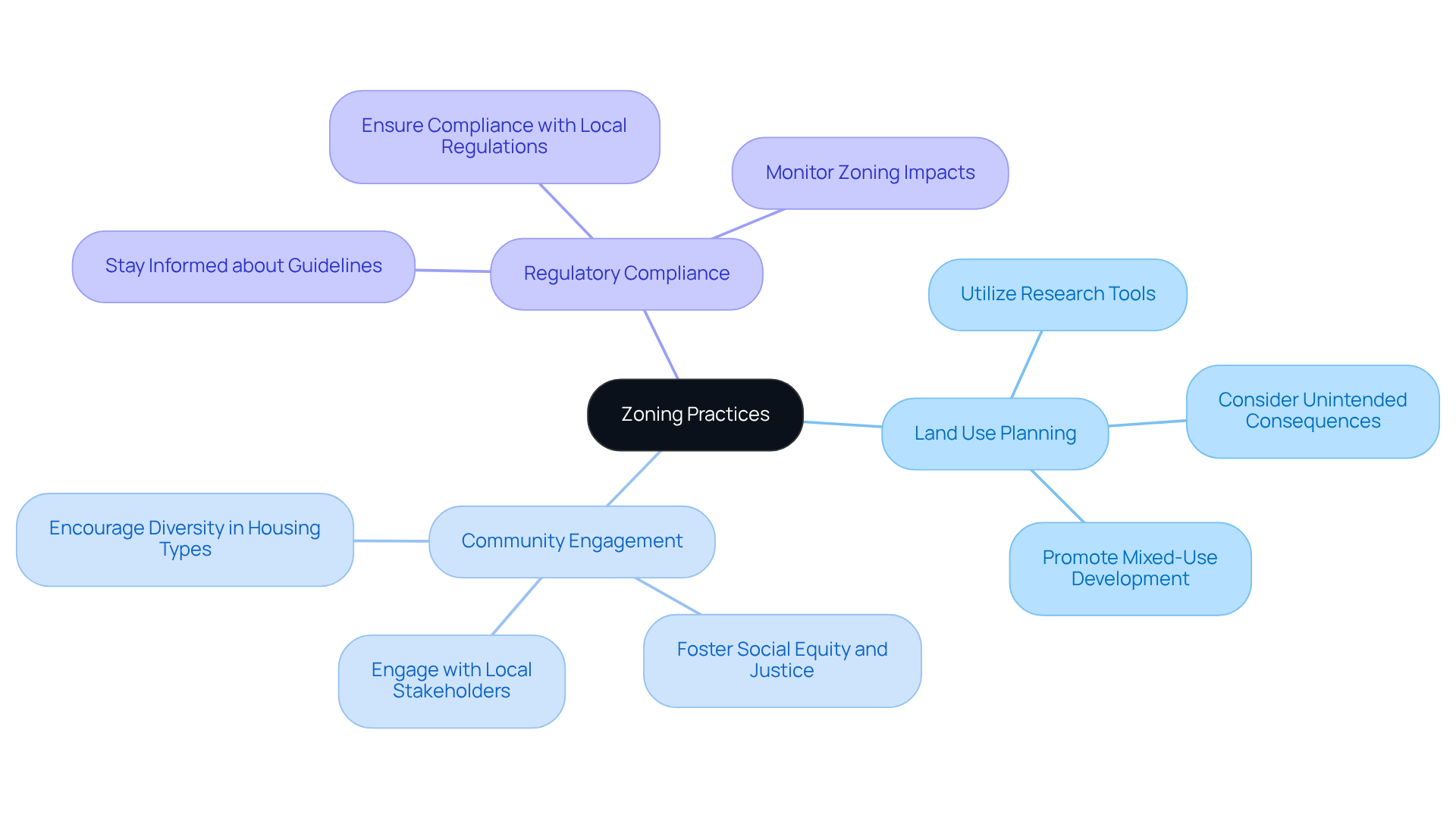
The American Planning Association (APA) offers comprehensive research tools for that assist local authorities and planners in developing effective land use regulations. These guidelines encompass various facets of land use regulation, including:
for land use and zoning history, playing a crucial role in shaping community growth and development, while also having the potential to restrict economic opportunities for developers. By adhering to these best practices, real property professionals can guarantee that their projects align with local planning regulations and positively impact community development.
As urban planner Sarah Lee notes, " and justice by prioritizing inclusive planning practices, encouraging diversity in housing types and affordability, and supporting economic development and job creation in underserved communities."
To adeptly navigate land use compliance, realty professionals should:
- Utilize research tools for land use and zoning history
- Engage with local stakeholders
- Stay informed about current land use guidelines
- Consider the possible unintended consequences of land use regulations on housing markets
This proactive strategy not only promotes collaboration but also strengthens the of the area, ultimately benefiting both developers and residents alike.
ZoningMap: Tool for Accessing and Analyzing Zoning Maps
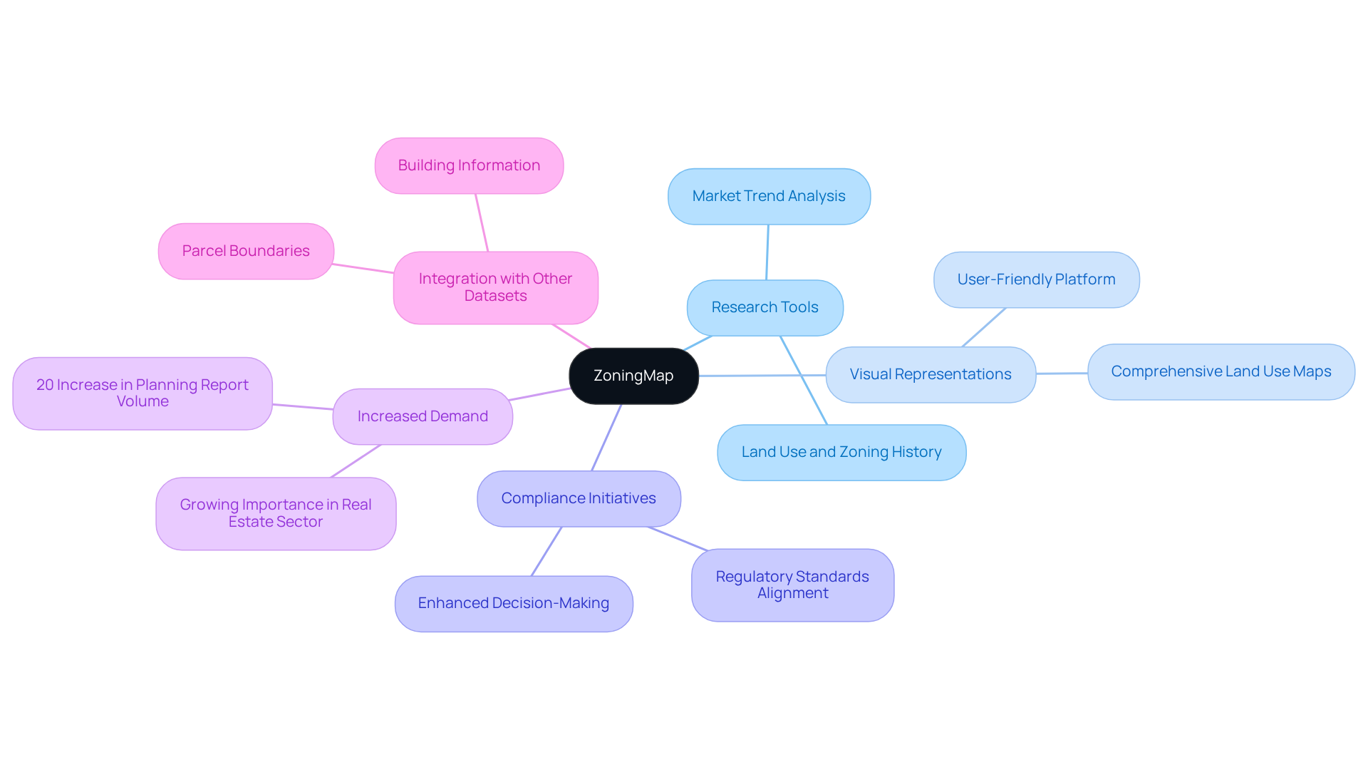
ZoningMap serves as a vital resource for real estate professionals by providing , along with a user-friendly platform to effortlessly access and analyze . By delivering comprehensive visual representations of , ZoningMap acts as one of the key , empowering users to effectively navigate the complexities of . This capability is crucial for evaluating potential development sites using research tools for land use and zoning history, ensuring .
Real estate experts emphasize that immediate access to accurate research tools for land use and zoning history significantly enhances their ability to make informed property development decisions. As Michael Fraser, SVP of Risk and Due Diligence at LightBox, notes, " is essential for making informed investment choices in today's market."
Furthermore, the availability of research tools for land use and zoning history directly impacts compliance initiatives, allowing professionals to seamlessly align their projects with regulatory standards. With a reported 20% increase in planning report volume in 2024 compared to 2023, the demand for tools like ZoningMap is on the rise, making them increasingly indispensable in the real estate sector for facilitating improved evaluations and strategic planning.
Additionally, ZoningMap serves as one of the research tools for land use and zoning history by integrating land-use data with other critical datasets, such as parcel boundaries and building information, thereby providing a comprehensive perspective that enhances decision-making processes.
LandUse.org: Resource for Land Use Policies and Zoning Laws
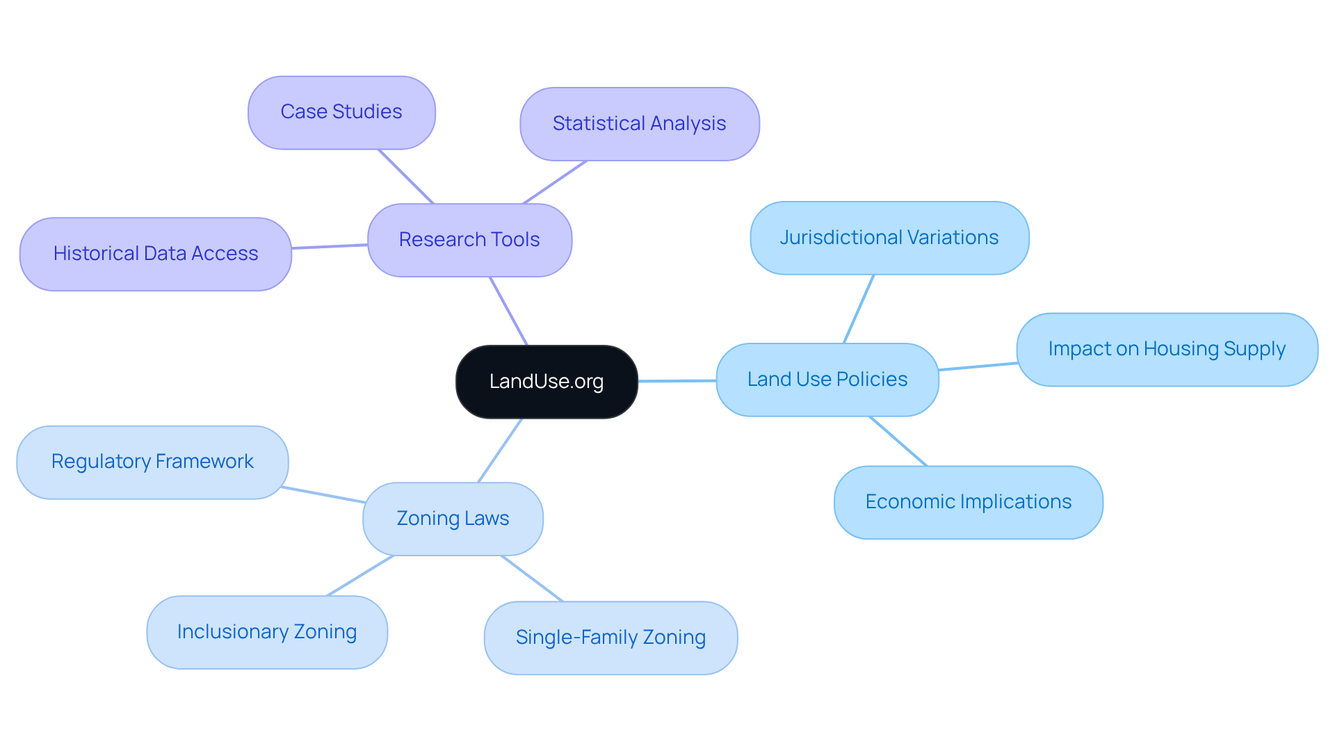
LandUse.org serves as an invaluable resource that provides comprehensive information on across various jurisdictions. By granting access to a wealth of , this platform empowers to adeptly navigate the complexities of . Understanding these policies is not merely beneficial; it is crucial for making informed decisions about and investment.
Conclusion
The exploration of essential research tools for land use and zoning history underscores the transformative impact of technology on the real estate sector. By integrating advanced tools such as Parse AI, Comanche County Clerk Records, and ZoningCheck, professionals can streamline their research processes, enhance accuracy, and ultimately make more informed decisions regarding property development and compliance.
Key insights from the article highlight the benefits of automation and digital interfaces in improving efficiency and reducing the time spent on manual tasks. Tools like LandVision and Zillow offer valuable data visualization and zoning insights, while resources such as CityData and LandUse.org provide crucial demographic and policy information. Together, these tools empower real estate professionals to navigate the complexities of land use regulations effectively.
As the landscape of land use and zoning research continues to evolve, embracing these innovative technologies is vital for success in the industry. By leveraging these essential research tools, professionals can not only improve their operational efficiency but also contribute to more strategic and sustainable development practices. The future of real estate relies on informed decision-making, and these tools are key to unlocking that potential.
Frequently Asked Questions
What is Parse AI and how does it benefit title research?
Parse AI employs advanced machine learning algorithms to analyze and extract information from title documents, automating the data extraction process. This significantly reduces the time required for title research, enhances precision, and minimizes human errors, making it essential for real estate professionals needing reliable ownership details promptly.
What improvements do companies experience by using machine learning for asset ownership verification?
Companies using machine learning for asset ownership verification report notable improvements in operational efficiency, with 57% of firms experiencing enhanced customer experiences and 73% of executives believing that machine learning will increase productivity.
How does the Comanche County Clerk's office facilitate land record searches?
The Comanche County Clerk's office provides a robust digital interface that streamlines the search for land records, including deeds and mortgages, reducing the need for physical visits and conserving time and resources for title researchers.
What are the advantages of digitizing land records?
Digitizing land records allows for efficient retrieval and sharing from anywhere at any time, improves accuracy in property documentation, and enables quicker case resolutions. This shift towards digital interfaces enhances efficiency in land record management.
What challenges are associated with the digitization of land records?
Challenges in the digitization process include ensuring information accuracy and maintaining regulatory compliance, which are vital considerations for successful implementation.
How does automated document processing with ParseAI assist landmen in their research?
Automated document processing via ParseAI transforms how landmen conduct research by converting unstructured information into structured formats, dramatically reducing the time spent on manual information entry and allowing them to focus on critical decision-making tasks.
What impact does automation have on the workflow of landmen?
Automation accelerates workflow, improves accuracy, and can reduce document processing time by 50% or more. It empowers landmen to concentrate on higher-value tasks, with 86% of employees believing automation enhances their efficiency.
What potential cost savings can be achieved by implementing ParseAI?
Implementing ParseAI can potentially reduce labor costs by up to 30%, highlighting the technology's value in transforming research processes for landmen.


